


Revolutionizing Wildfire Management: 2025’s Technological Breakthroughs
Wildfires have become an increasingly severe global challenge, with rising temperatures and extreme weather
How Technology is Revolutionizing Post-Wildfire Recovery in 2025
As wildfires continue to escalate in intensity and frequency, the need for effective recovery
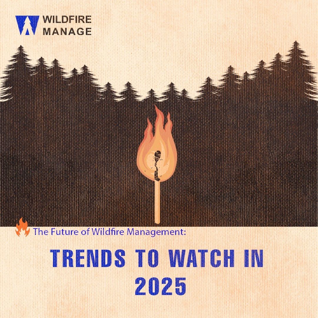
The Future of Wildfire Management: Trends to Watch in 2025
Wildfires are becoming an increasingly urgent global challenge, threatening ecosystems, communities, and economies. However,

Holistic Restoration after Wildfires: Strategies for Post-Fire Recovery
Wildfires not only pose a threat to human lives and properties, but they also