Services
- Home
- Services
Our Services
Services We Offer
Our services are categorized into four broad categories, each utilizing cutting-edge technologies, deep learning, drones, big data, AI, LiDAR sensors, and multispectral imaging.
Wildfire Risk Assessment Tool
Employ advanced AI to analyze datasets, assessing fire danger and providing critical insights to make informed, swift decisions for resource allocation.
Our comprehensive wildfire risk assessment service is designed to provide detailed insights into the potential wildfire risks in a given area. Utilizing advanced AI algorithms and analyzing a wide range of data, including historical fire patterns, weather conditions, topography, and vegetation cover, we generate accurate risk assessments.
Our team of experts combines scientific research with cutting-edge technology to identify areas with higher vulnerability to wildfires. By understanding the specific factors that contribute to wildfire ignition and spread, we can develop informed strategies for fire prevention and mitigation.
With our comprehensive wildfire risk assessment, stakeholders can make data-driven decisions when it comes to resource allocation, land-use planning, and implementing effective fire prevention measures. By identifying high-risk areas and implementing proactive measures, we aim to reduce the likelihood and severity of wildfires, safeguarding lives, property, and the environment.
Wildfire Early Detection System
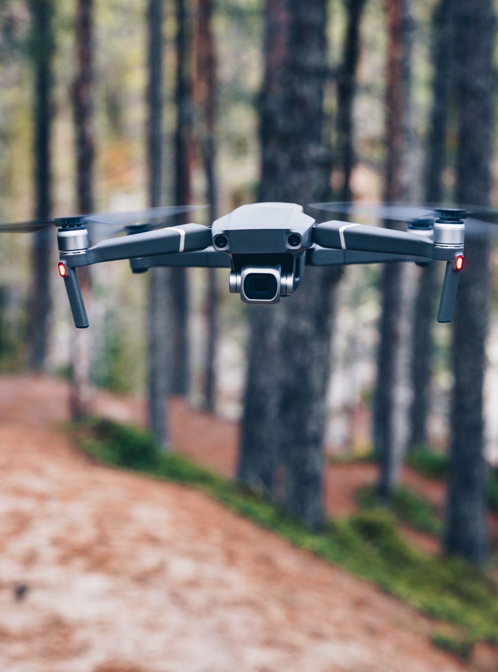
We utilize state-of-the-art drones with AI-powered cameras and sensors for real-time fire identification.
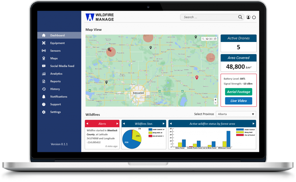
Our early detection and swift response service incorporate state-of-the-art drone technology and AI-powered image processing to identify wildfires in their early stages. Equipped with specialized cameras and sensors, our drones continuously monitor large areas for signs of smoke and heat signatures associated with wildfires.
Using AI algorithms, the captured data is analyzed in real-time, allowing us to quickly detect and locate wildfires, even in remote or challenging terrain. Once a fire is detected, immediate alerts are sent to relevant stakeholders, including fire departments, emergency management agencies, and landowners, enabling them to initiate a swift and coordinated response.
By detecting wildfires early, our service significantly reduces response times, enabling firefighters to reach the site faster and contain the fire before it spreads further. This swift response can save lives, protect property, and minimize the impact of wildfires on ecosystems.
Wildfire Spread Evaluation
We focuse on precise estimates of wildfire spread using drone-based data and AI-based guidance.
Our service offers precise wildfire spread prediction through a combination of drone-based data collection and advanced modeling techniques. By continuously monitoring fire behavior, our system provides accurate predictions of how the fire will evolve and spread, taking into account factors like weather conditions, topography, and fuel availability.
With this information, firefighters and incident commanders can plan their response strategies more effectively. Precise predictions aid in resource allocation, allowing fire crews to be deployed strategically and efficiently. By understanding the expected behavior of the fire, firefighters can prioritize areas for containment efforts, protect critical infrastructure, and ensure the safety of both firefighters and the public.
Our precise wildfire spread prediction service enhances situational awareness and helps incident commanders make informed decisions, ensuring that response efforts are efficient, coordinated, and effective.
Wildfire Analysis
We concentrate on post-fire recovery and data collection, and even offer strategies for reforestation and soil conservation that promote holistic restoration of communities and ecosystems.
After a wildfire, our holistic post-fire recovery solutions aim to support affected communities and restore ecosystems. Our expert team, equipped with comprehensive data collected during and after the fire, provides valuable insights and recommendations for post-fire recovery efforts.
We work closely with land managers, environmental organizations, and local communities to develop tailored strategies for reforestation, soil conservation, and ecological restoration. By considering factors such as soil health, native species selection, and erosion control, we ensure that the recovery efforts are effective and sustainable.
Our post-fire recovery solutions also involve community engagement and support. We assist in developing action plans for displaced communities, offering guidance on building back stronger and more resilient neighborhoods. By integrating our expertise with community needs, we aim to facilitate the recovery process and restore the affected areas to their former vitality.
Through our holistic approach to post-fire recovery, we contribute to the long-term resilience of communities and ecosystems, promoting a sustainable and vibrant future.

Fire No More
Defending Against the Threat of Wildfires
Utilizing cutting-edge AI algorithms and advanced drone technology, we provide real-time alerts and rapid response capabilities. Explore how our comprehensive wildfire risk assessment, early detection, and spread evaluation services can help you combat the threat of wildfires, ensuring a safer future for all.

If You Need Help, Get In Touch
FAQ
Related Questions
Read below questions and answers to become more familiar with Wildefire Manage services
Our Wildfire Analysis focuses on post-fire recovery and data collection. We collect data on the extent of wildfire damage, vegetation recovery rates, and soil erosion levels. The data enables us to offer strategies for reforestation and soil conservation, supporting affected residents and businesses, and aiming for holistic restoration of communities and ecosystems.
Our system offers a comprehensive, cost-effective solution to manage and mitigate the impacts of wildfires. By utilizing advanced technologies such as AI, drones, and big data, we can reduce the response time, minimize the risk of wildfires, and provide quicker and more accurate resource allocation.
The return on investment (ROI) for our system will vary depending on the size and location of the forest. The ROI is calculated using the cost savings from reduced wildfire damage and response costs. We work with our clients to estimate the potential savings and provide a comprehensive analysis to assess the ROI of implementing our forest wildfire management system.
Yes, our Wildfire Early Detection System is designed to operate in various weather conditions, including rain, fog, and low light. The AI-powered cameras and sensors are specifically calibrated to detect smoke and heat signatures even in challenging weather conditions, ensuring reliable and timely fire detection.
Drones play a crucial role in our system as they provide aerial surveillance capabilities, allowing us to monitor vast forest areas more efficiently and capture high-resolution imagery. By leveraging drone technology, we can gather critical data, detect wildfires at their onset, assess fire behavior, and make informed decisions to mitigate the impacts of wildfires effectively.
Our Forest Wildfire Management System is designed to seamlessly integrate with existing emergency response systems. We prioritize interoperability and compatibility, ensuring that our system can communicate and share data with other systems used by government agencies, fire departments, and emergency management organizations. This integration enhances collaboration and enables more effective and coordinated wildfire response efforts.

